Which tool is used to analyze spatial data in urban planning?
Explanation:
GIS manages spatial urban data.
NEW


RRB Group D CBT-1 Exam Date 2026 Out: Check Exam Schedule, Vacancy, Eligibility & Latest Updates
NEW
SSC CHSL Tier 1 Syllabus 2026
NEW
AngularJS Interview Questions and Answers
NEW
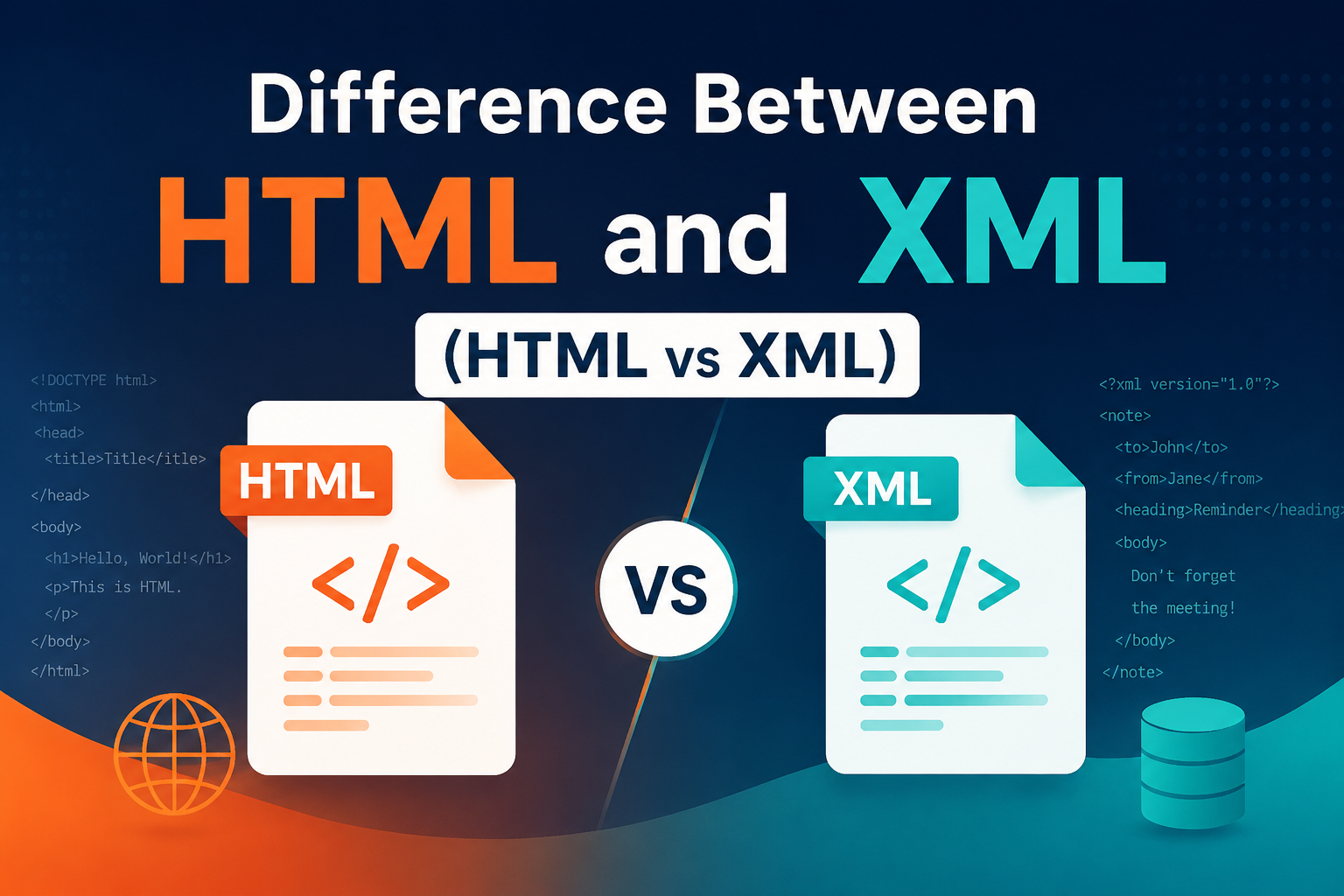
Difference Between HTML and XML (HTML vs XML)
NEW
CBSE 12th Result 2026 Re-Evaluation: Apply Online, Fees, Last Date & Step-by-Step Process Explained
NEW
NEET UG 2026 Re-Exam Date Announced: Check New Exam Date, Schedule & Latest Updates
NEW
Understanding the SSC Phase 14 Exam: A Comprehensive Overview
NEW
Top Study Tips for Cracking Your Exams with Confidence
NEW
Aerospace Engineering: Scope, Courses & Career Opportunities
NEW
SSC CHSL Syllabus
NEW
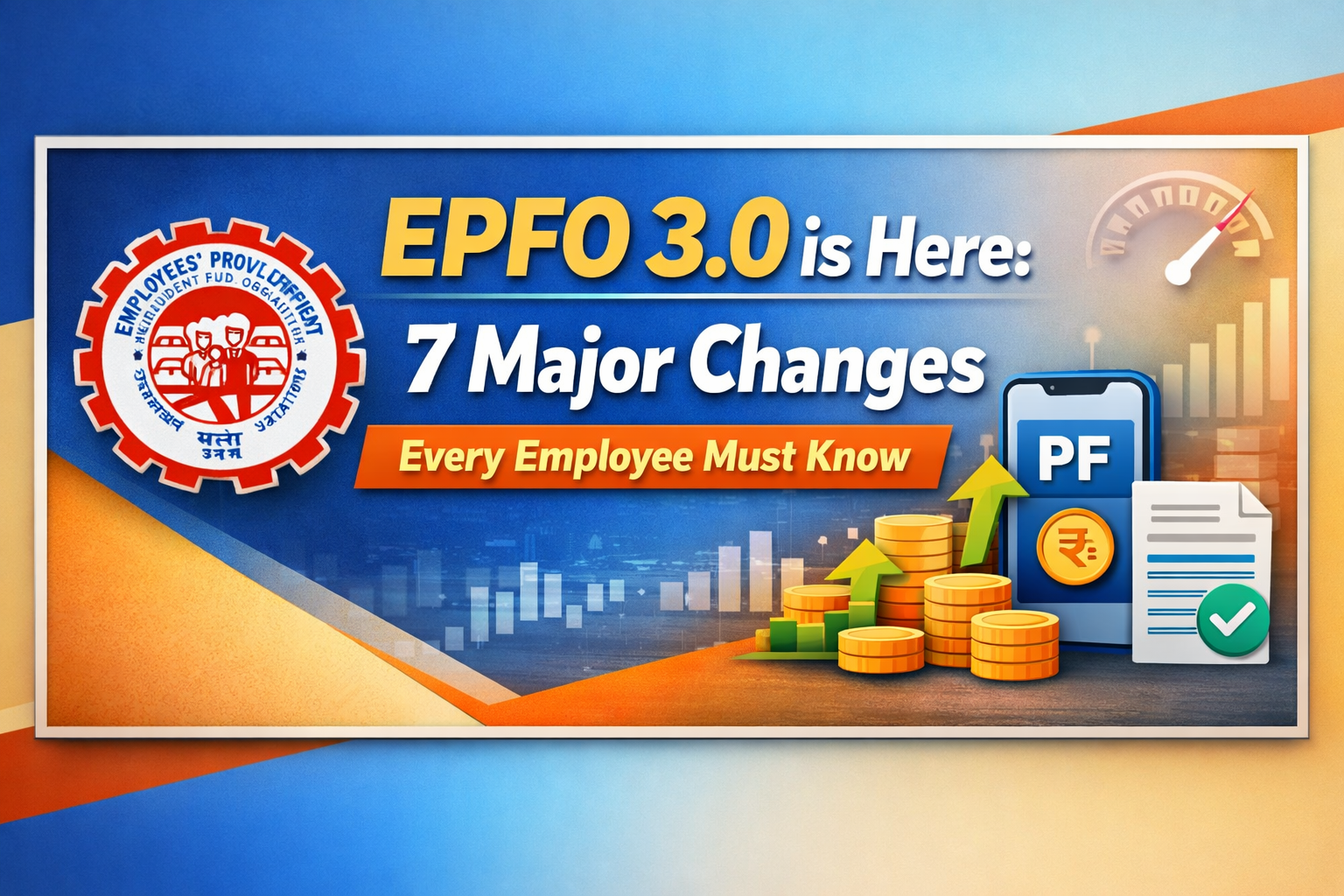
EPFO 3.0 is Here: 7 Major Changes Every Employee Must Know
NEW