Remote Sensing and GIS MCQ
Q1. What is Remote Sensing?
📘 View ExplanationQ2. Which type of radiation is commonly used in remote sensing?
📘 View ExplanationQ3. What does GIS stand for?
📘 View ExplanationQ4. Which sensor type captures data with many narrow spectral bands?
📘 View ExplanationQ5. Resolution that refers to the size of the pixel in remote sensing images is?
📘 View ExplanationQ6. Temporal resolution in remote sensing indicates?
📘 View ExplanationQ7. Which platform offers the highest spatial resolution images?
📘 View ExplanationQ8. Which GIS operation overlays multiple thematic maps?
📘 View ExplanationQ9. What is radiometric resolution in remote sensing?
📘 View ExplanationQ10. What is the function of a Digital Elevation Model (DEM)?
📘 View ExplanationQ11. Which remote sensing technique is best for mapping vegetation health?
📘 View ExplanationQ12. Which remote sensing sensor operates actively by emitting signals?
📘 View ExplanationQ13. Which coordinate system is primarily used in GIS?
📘 View ExplanationQ14. Which term describes the process of correcting satellite images to match true ground positions?
📘 View ExplanationQ15. Remote Sensing data is influenced by the atmosphere through?
📘 View ExplanationQ16. Which GIS data model uses vector-based points, lines, and polygons?
📘 View ExplanationQ17. DIfference between passive and active remote sensing?
📘 View ExplanationQ18. Which process converts raw remote sensing data into georeferenced images?
📘 View ExplanationQ19. What does the term “spatial resolution” refer to in satellite imagery?
📘 View ExplanationQ20. Which sensor resolution affects ability to distinguish objects with similar brightness?
📘 View ExplanationLatest Blogs

RRB Group D CBT-1 Exam Date 2026 Out: Check Exam Schedule, Vacancy, Eligibility & Latest Updates
NEW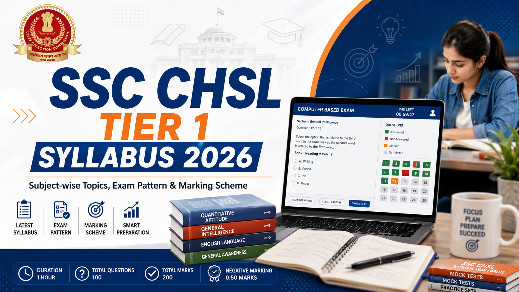
SSC CHSL Tier 1 Syllabus 2026
NEW
AngularJS Interview Questions and Answers
NEW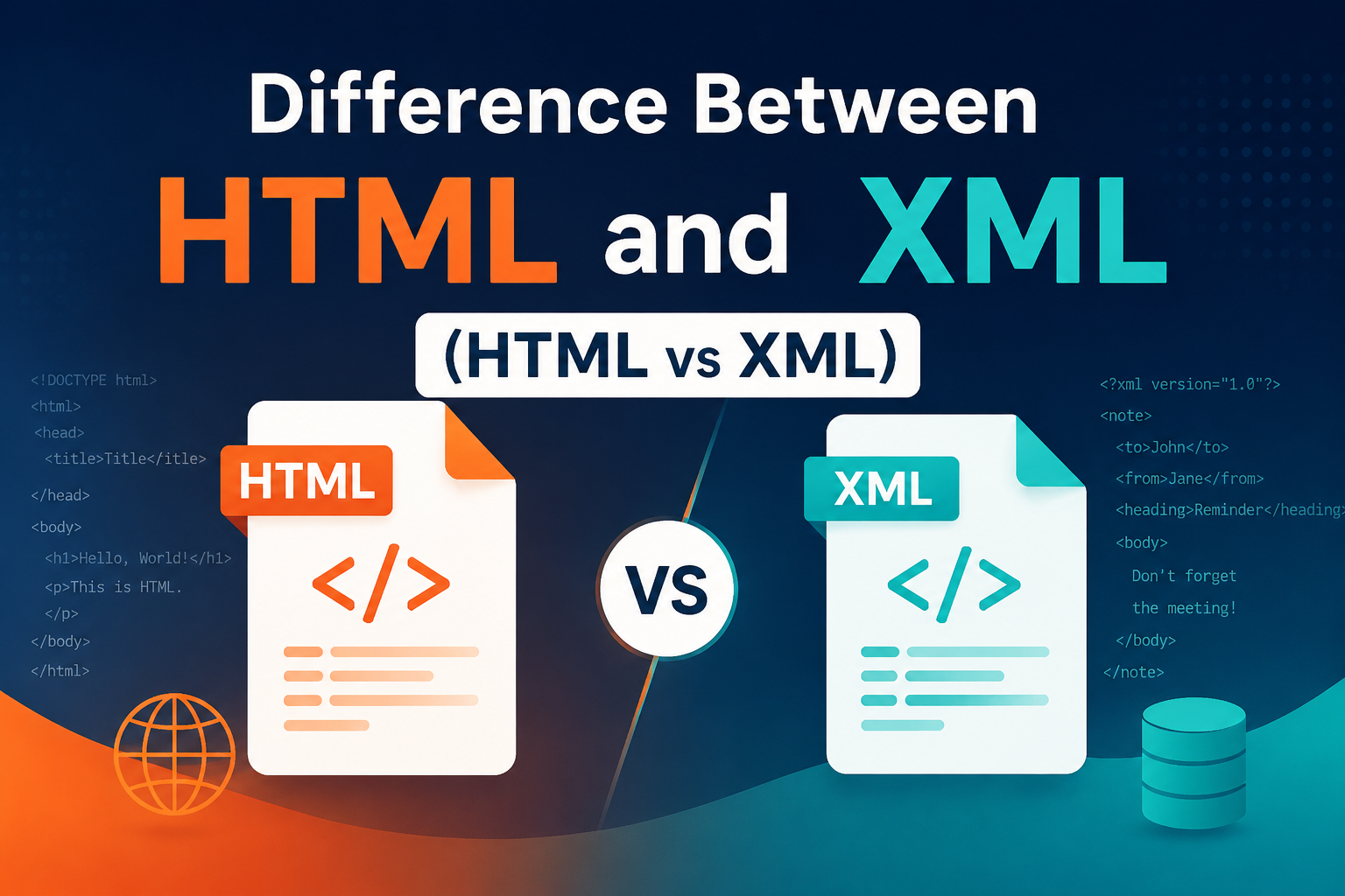
Difference Between HTML and XML (HTML vs XML)
NEW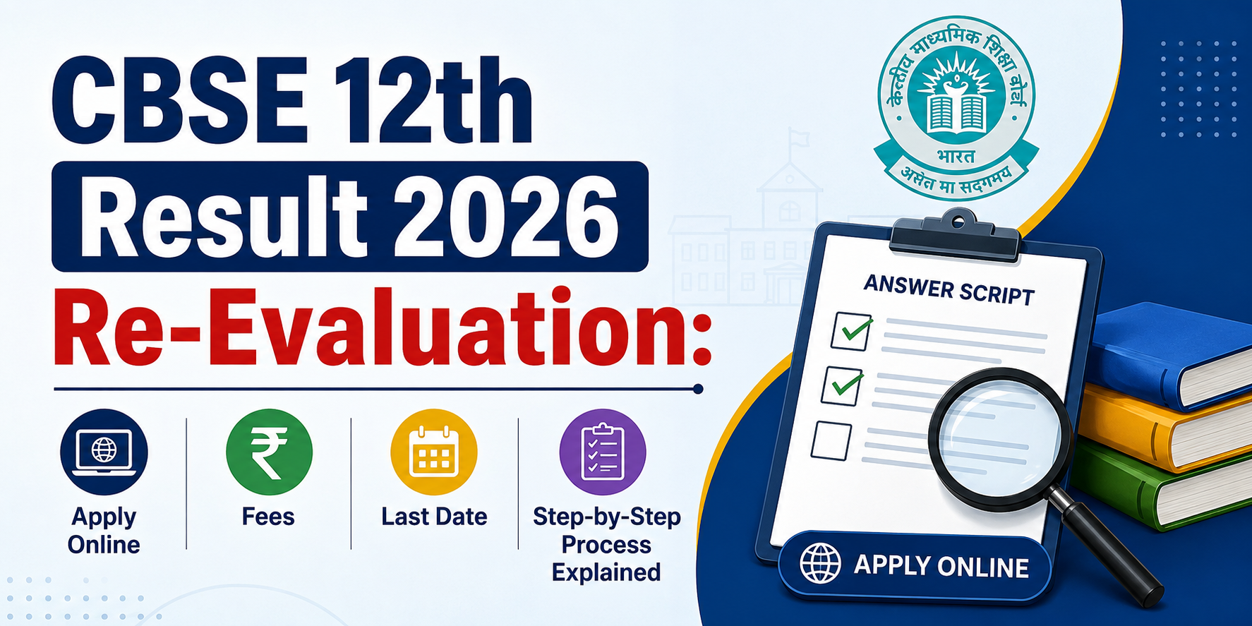
CBSE 12th Result 2026 Re-Evaluation: Apply Online, Fees, Last Date & Step-by-Step Process Explained
NEW
NEET UG 2026 Re-Exam Date Announced: Check New Exam Date, Schedule & Latest Updates
NEW
Understanding the SSC Phase 14 Exam: A Comprehensive Overview
NEW
Top Study Tips for Cracking Your Exams with Confidence
NEW
Aerospace Engineering: Scope, Courses & Career Opportunities
NEW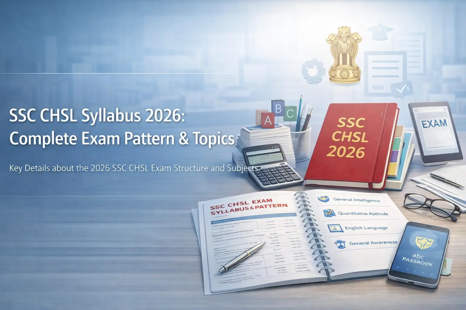
SSC CHSL Syllabus
NEW
EPFO 3.0 is Here: 7 Major Changes Every Employee Must Know
NEW